The Nakasendo is the doorway — not the valley.
Most travelers pass straight through: walk Magome to Tsumago, sleep once, roll on to Kyoto. But this valley holds far more than one trail. Ask the people who first came here as tourists and ended up moving here for good — me included — and most will name the same two things that hooked them: the river, and cycling. So here's our proposal — day one on foot, day two on wheels. Walk the old road as everyone does; then, instead of leaving at nine, ride down the river, into the gorges, past the post towns the tour buses never reach.
Five routes. All a little off the beaten track.
Open the route map on your phone for turn-by-turn directions between our pick-up points.
One way · Nagiso → Nojiri
Train Lovers
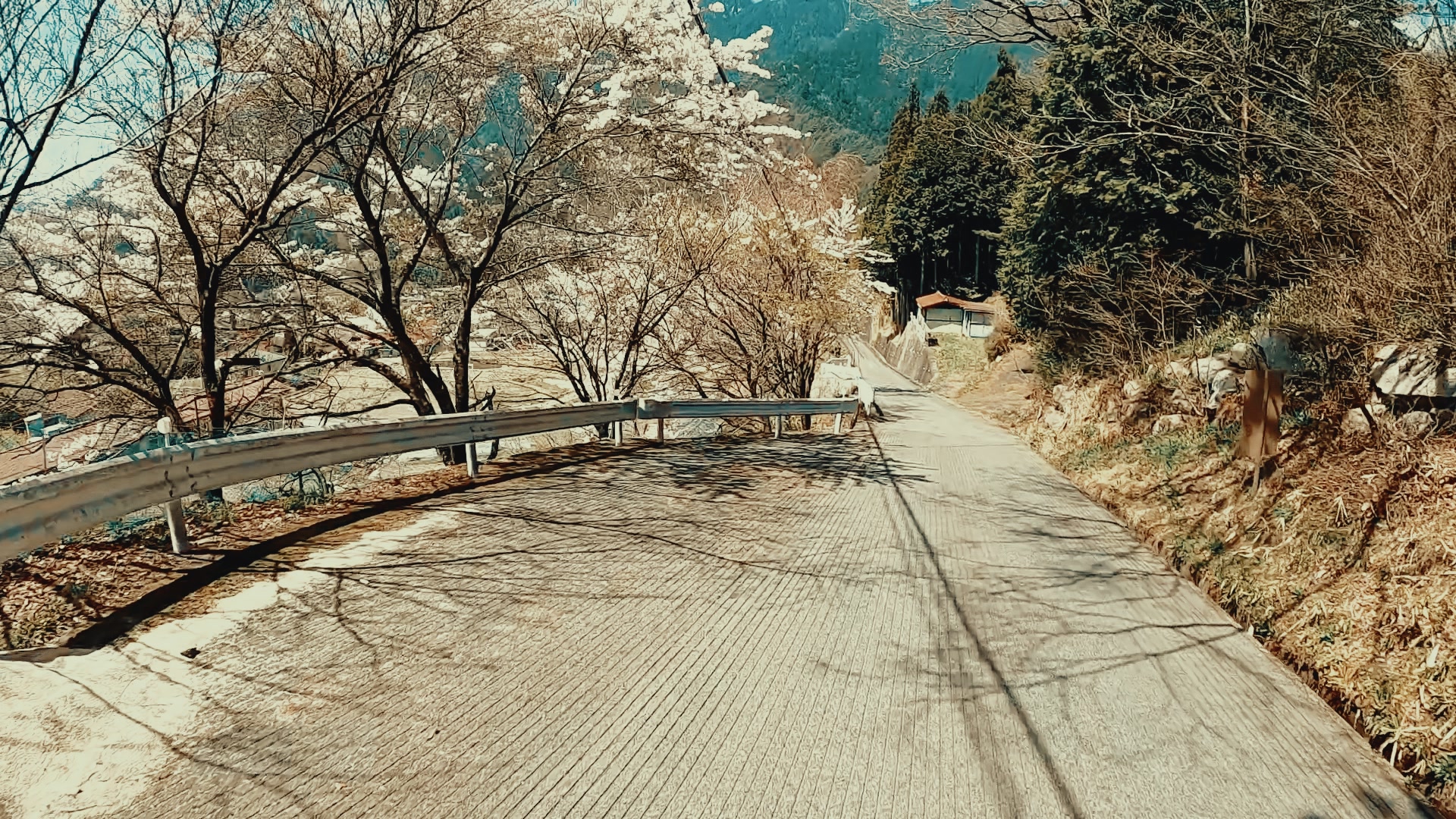
The truly old Nakasendo — the road that predates even the Yogawa bypass of around 1761. Paved now, but nearly traffic-free and comfortable. It's also a hidden winter favorite of Japan's railway fans: you ride alongside the JR line, and with luck you'll catch the best shot of the Shinano limited express.
 ModerateSummer & Early Winter
Natural AC & Onsen
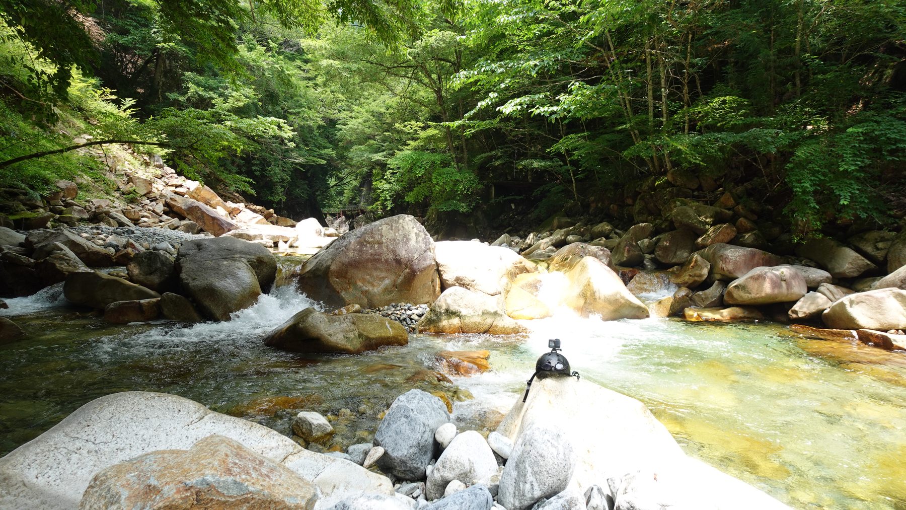
The Yogawa trail is beautiful, but brutal in summer heat. The opposite bank has rice paddy roads, an easy pass, and a narrow road linking two stunning waterfalls. Grab a rashguard from our gear rental, then dive into the gorge to cool off. There's an onsen at the end of the road — in winter, dive into that instead.
 HardFor the fit
Nakasendo Challenge
The Yogawa trail, said to be the most beautiful stretch of the entire Nakasendo. No shops along the way, slightly longer with more elevation than Magome Pass — for confident riders only. We ride the narrow paved road that runs alongside this old route. For those with the legs for it.
Loops around Nagiso
 EasySpring & Autumn
Tsumago, Revisited
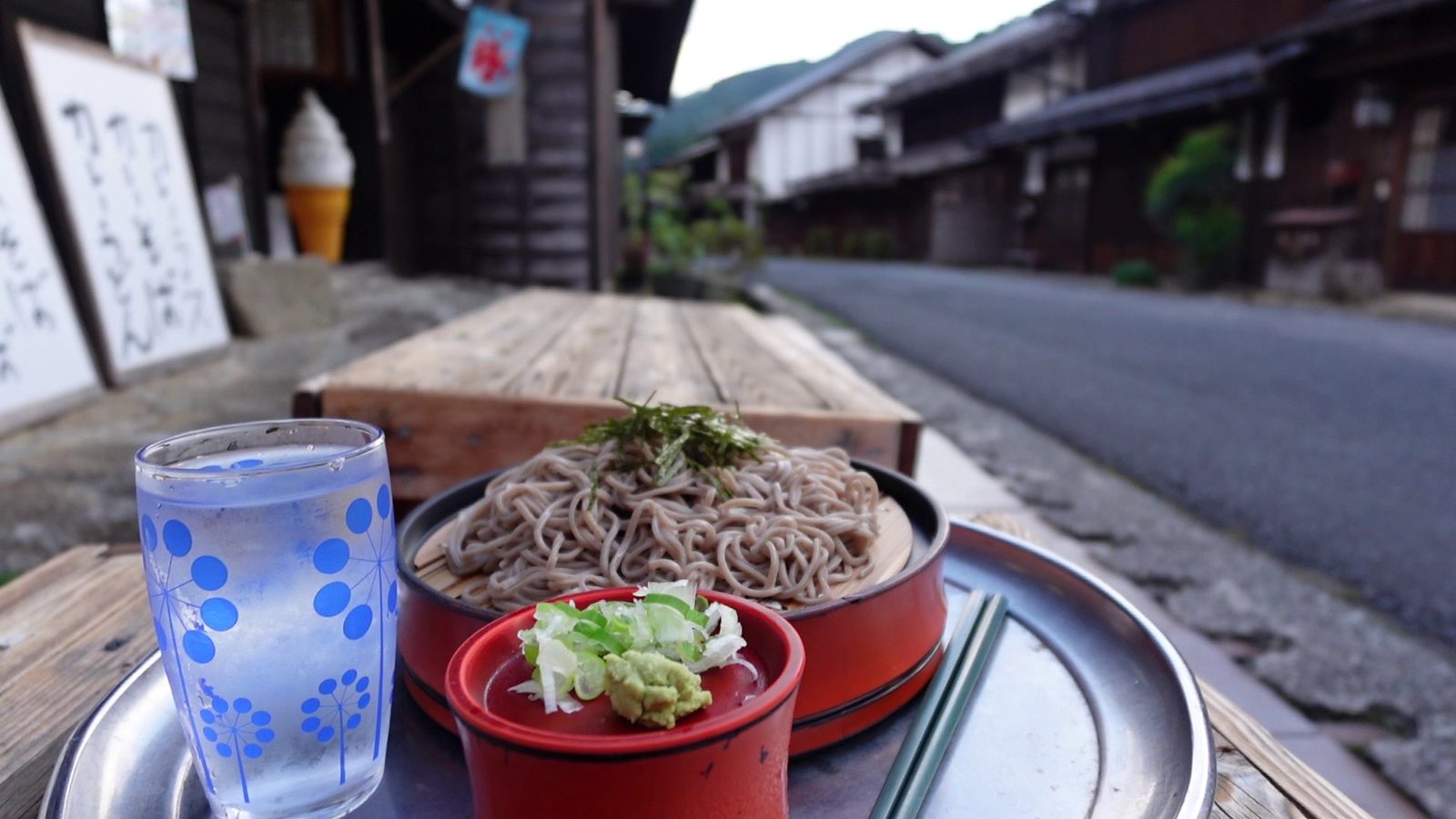
What used to be a forest-railway line is now a quiet paved road only locals know — running straight into Tsumago. Perfect for anyone who arrived at the post town too late the night before to explore it properly.
Heart-shaped loop · Nagiso → Nakatsugawa → Nagiso
Sakashita–Magome Challenge
Drawn on the map, this loop is a heart. Roll gently downhill from Nagiso through Sakashita all the way to Nakatsugawa, passing Naegi Castle ruins and a local ramen stop on the way. Then turn back northeast, climb through Magome post town and over Magome Pass on the old Nakasendo, dropping into Tsumago and home to Nagiso. Only want the downhill? Leave the bike at Nakatsugawa Station and take the train back — about 30 km, mostly descending.
Route maps
The first four courses above are drawn on this map in their own colors (the Sakashita–Magome Challenge has its own map below) — match the line tag on each card to the line on the map. Open it on your phone for turn-by-turn directions between our pick-up points.
Sakashita–Magome Challenge (heart loop)
Open the heart loop in Google MapsThe routes are free. The bike is the ticket.
Rent an e-bike (¥4,000 per bike, one-way drops welcome), add bear gear or a rashguard from the gear rental, and let the luggage shuttle carry your bags while you ride.
Rent an e-bike